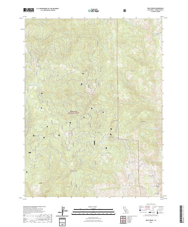
2021 Map of Riley Ridge
USGS Topo · Published 2021About this map
Mendocino National Forest defines the character of this landscape in Tehama County, where a complex network of high ridges and deep canyons directs the flow of the Sacramento Valley watershed. The terrain is marked by prominent elevations such as Riley Ridge, Raglin Ridge, and Eagle Peak, which served as critical points for fire observation and backcountry navigation. This 2021 survey documents the established forest road system, including the Paskenta-Eel River route and the Valentine Ridge Cold Springs Rd, reflecting the modern management of these timberlands. For researchers, the map identifies specific high-altitude landmarks like Whiskey Saddle, Henderson Glade, and Beehive Flat, along with water sources such as Government Spring. The convergence of Mill Cr and Digger Cr highlights the drainage patterns that have shaped the local topography for generations.
Find a feature on this map
40 named features on this map. Tap any name to fly to it.
Don’t see what you’re looking for? This feature index may not catch every label — zoom into the map to look around manually.
Map Details
Editions of this 2021 Riley Ridge Map
This is the sole edition of this map. No revisions or reprints were ever made.
Other maps of this area

1890 · Red Bluff
USGS Topo · 1:250,000

1894 · Red Bluff
USGS Topo · 1:250,000

1949 · Colyear Springs
USGS Topo · 1:62,500

1952 · Paskenta
USGS Topo · 1:62,500

1952 · Anthony Peak
USGS Topo · 1:62,500

1954 · Yolla Bolly
USGS Topo · 1:62,500

1957 · Colyear Springs
USGS Topo · 1:62,500

1957 · Ukiah
USGS Topo · 1:250,000

1958 · Redding
USGS Topo · 1:250,000

1960 · Ukiah
USGS Topo · 1:250,000