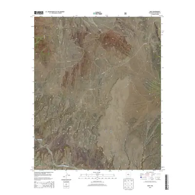
2013 Map of Riley
USGS Topo · Published 2013About this map
Riley stands as a focal point in this high-desert landscape, positioned along the northern bank of the Rio Salado. The terrain is defined by dramatic elevation changes, notably the rise of Sierra Lucero and the prominent Yellow Mtn to the north of the settlement. To the west, the deep drainage of Cañon del Tanque Hondo carves through the earth, while Coyote Draw marks the arid plains to the northwest.
Find a feature on this map
23 named features on this map. Tap any name to fly to it.
Don’t see what you’re looking for? This feature index may not catch every label — zoom into the map to look around manually.
Map Details
Editions of this 2013 Riley Map
This is the sole edition of this map. No revisions or reprints were ever made.
Other maps of this area

1917 · Cerro Verde
USGS Topo · 1:125,000

1954 · Socorro
USGS Topo · 1:250,000

1956 · Mesa Aparejo
USGS Topo · 1:62,500

1958 · Socorro
USGS Topo · 1:250,000

1959 · Riley
USGS Topo · 1:62,500

1962 · Socorro
USGS Topo · 1:250,000

1964 · La Jara Peak
USGS Topo · 1:24,000
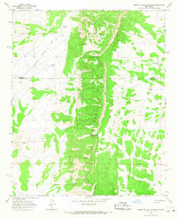
1964 · Puerto De Los Cavadores
USGS Topo · 1:24,000
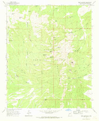
1964 · Mesa Cencerro
USGS Topo · 1:24,000
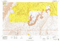
1978 · Acoma Pueblo
USGS Topo · 1:100,000