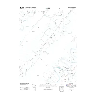
2013 Map of Rileyville
USGS Topo · Published 2013About this map
The N Fork Shenandoah River snakes through the western portion of this quadrangle, forming the dramatic curves of Seven Bends near Camp Lupton. This landscape is defined by the steep ridges of the Massanutten Range, where topographic gaps like Woodstock Gap, Walters Gap, and Habron Gap provide the primary passages for local travel between the river valleys. The high ground is anchored by the Woodstock Lookout Tower and the Fort Valley Overlook, offering strategic views over the surrounding terrain.
Find a feature on this map
93 named features on this map. Tap any name to fly to it.
Don’t see what you’re looking for? This feature index may not catch every label — zoom into the map to look around manually.
Map Details
Editions of this 2013 Rileyville Map
This is the sole edition of this map. No revisions or reprints were ever made.
Other maps of this area

1892 · Woodstock
USGS Topo · 1:125,000

1893 · Luray
USGS Topo · 1:125,000

1905 · Luray
USGS Topo · 1:125,000

1923 · Edinburg
USGS Topo · 1:62,500

1929 · Stony Man
USGS Topo · 1:48,000

1933 · Stony Man
USGS Topo · 1:62,500

1942 · Mt Jackson
USGS Topo · 1:62,500

1946 · Mt Jackson
USGS Topo · 1:62,500

1947 · Mt Jackson
USGS Topo · 1:62,500

1947 · Strasburg
USGS Topo · 1:62,500