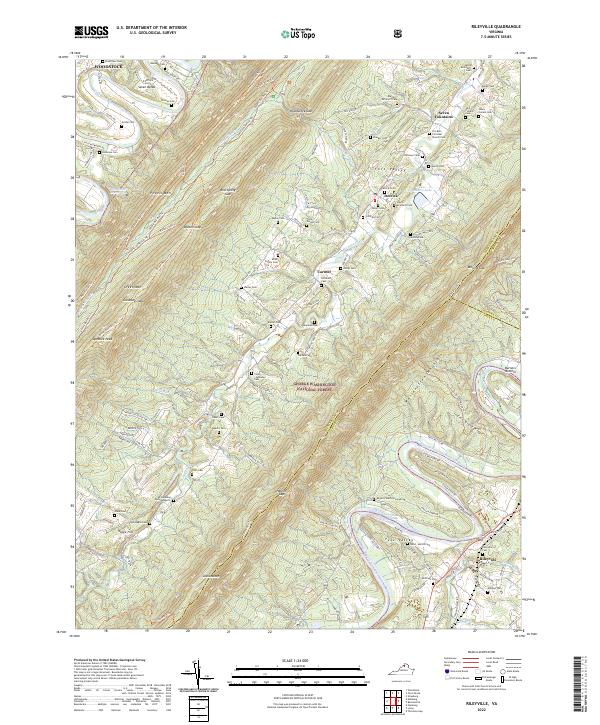
2022 Map of Rileyville
USGS Topo · Published 2022About this map
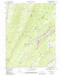
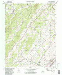
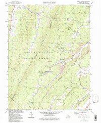
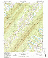
Massanutten Mountain dominates this part of the Shenandoah Valley, where the George Washington National Forest provides a backdrop for rural life near the turn of the 21st century. The landscape is defined by the sinuous paths of the North Fork Shenandoah River and South Fork Shenandoah River, alongside smaller waters like Passage Creek and Dry Run. Settlements such as Seven Fountains, Fort Valley, and Rileyville serve as local anchors for the surrounding farmsteads.
Find a feature on this map
141 named features on this map. Tap any name to fly to it.
Don’t see what you’re looking for? This feature index may not catch every label — zoom into the map to look around manually.
Map Details
Editions of this 2022 Rileyville Map
This is the sole edition of this map. No revisions or reprints were ever made.
Historical Maps of Detrick Through Time
12 maps found
1965 Mountain Falls
Shenandoah County, VA
1966 Conicville
Shenandoah County, VA
1966 Rileyville
Shenandoah County, VA
1967 Orkney Springs
Shenandoah County, VA
1994 Conicville
Shenandoah County, VA
1994 Orkney Springs
Shenandoah County, VA
1994 Rileyville
Shenandoah County, VA
1999 Mountain Falls
Shenandoah County, VA
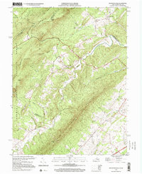
2022 Conicville
Shenandoah County, VA
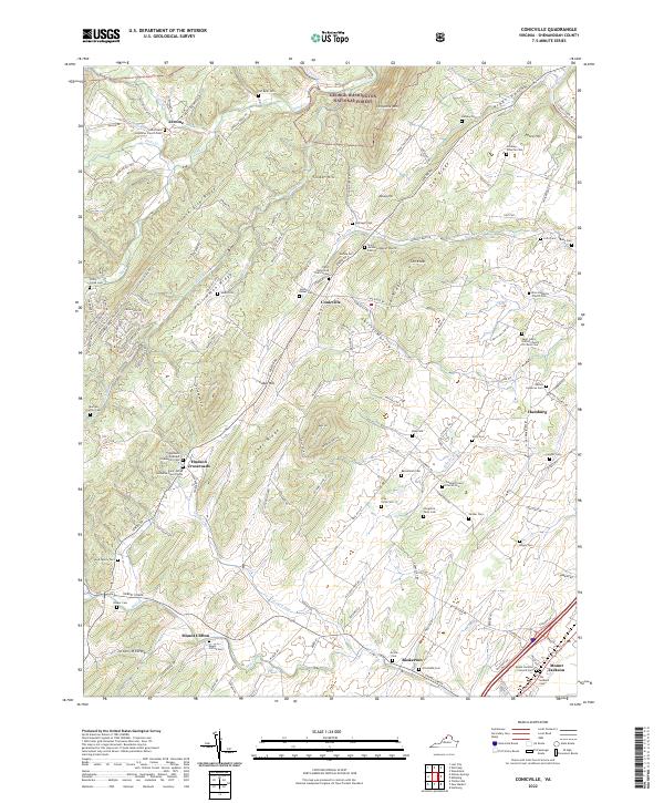
2022 Mountain Falls
Shenandoah County, VA
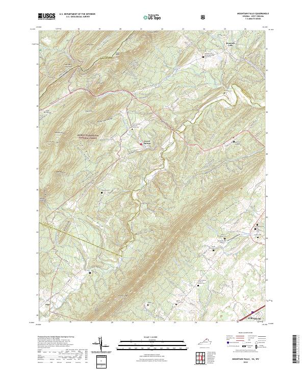
2022 Orkney Springs
Shenandoah County, VA
2022 Rileyville
Shenandoah County, VA