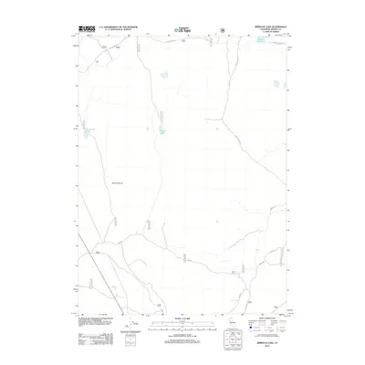
2012 Map of Rimrock Lake
USGS Topo · Published 2012About this map
Rimrock Lake and its surrounding high desert plateaus define this corner of Modoc County as documented in the early 2010s. The landscape is marked by seasonal water bodies and flat expanses, most notably Bob Young Flat in the central-western portion of the map. This area is heavily crisscrossed by Forest Service roads, indicating its role in land management and recreation, with Hartlerode Rd and Double Head Rd serving as primary corridors through the high country.
Find a feature on this map
25 named features on this map. Tap any name to fly to it.
Don’t see what you’re looking for? This feature index may not catch every label — zoom into the map to look around manually.
Map Details
Editions of this 2012 Rimrock Lake Map
This is the sole edition of this map. No revisions or reprints were ever made.
Other maps of this area

1886 · Modoc Lava Bed
USGS Topo · 1:250,000

1892 · Modoc Lava-Bed
USGS Topo · 1:250,000

1951 · Clear Lake Reservoir
USGS Topo · 1:62,500

1951 · Tulelake
USGS Topo · 1:62,500

1952 · Timber Mountain
USGS Topo · 1:62,500

1952 · Hackamore
USGS Topo · 1:62,500

1954 · Alturas
USGS Topo · 1:250,000

1958 · Alturas
USGS Topo · 1:250,000

1962 · Alturas
USGS Topo · 1:250,000

1965 · Alturas
USGS Topo · 1:250,000