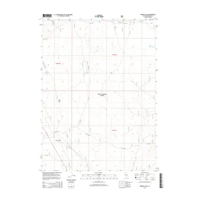
2015 Map of Rimrock Lake
USGS Topo · Published 2015About this map
Modoc National Forest dominates this high-plateau landscape, where water features and historical rangelands define the local geography. The area around Rimrock Lake and Cummins Lake shows a distribution of landmarks linked to early resource management and navigation, such as Badger Well and Potter Pasture. To the north and east, several distinctive water bodies including Double Head Lake and Lone Pine Lake appear alongside industrial or defensive markers like Oth Radar and the Harvey Jones Pit.
Find a feature on this map
21 named features on this map. Tap any name to fly to it.
Don’t see what you’re looking for? This feature index may not catch every label — zoom into the map to look around manually.
Map Details
Editions of this 2015 Rimrock Lake Map
This is the sole edition of this map. No revisions or reprints were ever made.
Other maps of this area

1886 · Modoc Lava Bed
USGS Topo · 1:250,000

1892 · Modoc Lava-Bed
USGS Topo · 1:250,000

1951 · Clear Lake Reservoir
USGS Topo · 1:62,500

1951 · Tulelake
USGS Topo · 1:62,500

1952 · Timber Mountain
USGS Topo · 1:62,500

1952 · Hackamore
USGS Topo · 1:62,500

1954 · Alturas
USGS Topo · 1:250,000

1958 · Alturas
USGS Topo · 1:250,000

1962 · Alturas
USGS Topo · 1:250,000

1965 · Alturas
USGS Topo · 1:250,000