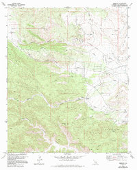
1972 Map of Rimrock
USGS Topo · Published 1994About this map
Rimrock and the surrounding desert highlands are captured in this early 1970s survey, showing a landscape defined by deep canyons and volcanic features. The area's water resources are meticulously documented, from the secluded Burns Spring and Chaparrosa Spring to the hydrological infrastructure of the Gaging Station The Pipes. Local ranching and settlement history is anchored by Kee Ranch, while the topography is dominated by the massive Black Lava Butte and the rugged Sawtooths range to the south.
Find a feature on this map
25 named features on this map. Tap any name to fly to it.
Don’t see what you’re looking for? This feature index may not catch every label — zoom into the map to look around manually.
Map Details
Editions of this 1972 Rimrock Map
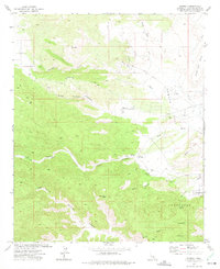
2 editions found
Other maps of this area

1901 · Southern California Sheet No. 1
USGS Topo · 1:250,000

1902 · San Gorgonio
USGS Topo · 1:125,000

1904 · Southern California Sheet No. 1
USGS Topo · 1:250,000

1953 · San Bernardino
USGS Topo · 1:250,000

1955 · Old Woman Springs
USGS Topo · 1:62,500

1955 · Emerson Lake
USGS Topo · 1:62,500

1955 · Morongo Valley
USGS Topo · 1:62,500

1955 · Joshua Tree
USGS Topo · 1:62,500

1956 · San Bernardino
USGS Topo · 1:250,000

1957 · San Bernardino
USGS Topo · 1:250,000