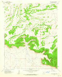
1961 Map of Rincon Marquez
USGS Topo · Published 1964About this map
The Continental Divide cuts through this high-desert landscape in McKinley County, defining a complex topography of drainage basins and high plateaus. Centered on the towering Chaco Mesa, the terrain is marked by deep erosional features including Rincon Marquez Arroyo and Vicente Arroyo. These waterways illustrate the intricate natural irrigation patterns of the region, where seasonal runoff carves through the sandstone layers of the mesa.
Find a feature on this map
8 named features on this map. Tap any name to fly to it.
Don’t see what you’re looking for? This feature index may not catch every label — zoom into the map to look around manually.
Map Details
Editions of this 1961 Rincon Marquez Map
2 editions found
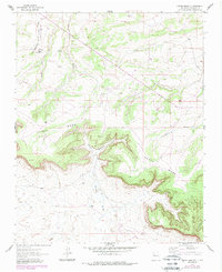
Other maps of this area

1883 · Mt. Taylor
USGS Topo · 1:250,000

1886 · Mt. Taylor
USGS Topo · 1:250,000

1892 · Mt. Taylor
USGS Topo · 1:250,000

1899 · Mt. Taylor
USGS Topo · 1:250,000

1958 · Albuquerque
USGS Topo · 1:250,000

1960 · Pueblo Alto Trading Post
USGS Topo · 1:24,000
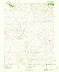
1961 · Ojo Encino Mesa
USGS Topo · 1:24,000
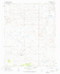
1961 · Star Lake
USGS Topo · 1:24,000

1961 · Whitehorse Rincon
USGS Topo · 1:24,000

1961 · Mesita Del Gavilan
USGS Topo · 1:24,000