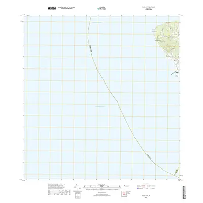
2018 Map of Rincon OE W
USGS Topo · Published 2018About this map
The westernmost point of the Island of Puerto Rico defines this coastal landscape, where the Atlantic Ocean and Caribbean Sea meet at the strategic headland of Punta Higüero. This maritime boundary is marked by a series of prominent coastal features, including the surf-worn Domes Beach and the protective reach of Punta Ensenada. Moving inland, the terrain rises toward Cerro Martinica, while the coastal plain supports the settlements of Rincón and Stella. These communities are connected by a network of local roads such as Ave Miramar and Cam La Joya. The hydrological system is defined by short, direct drainage paths like Quebrada Piletas and Quebrada Los Ramos, which channel water from the interior heights down to the shoreline at Playa Corecega.
Find a feature on this map
23 named features on this map. Tap any name to fly to it.
Don’t see what you’re looking for? This feature index may not catch every label — zoom into the map to look around manually.
Map Details
Editions of this 2018 Rincon OE W Map
This is the sole edition of this map. No revisions or reprints were ever made.
Other maps of this area

1937 · Aguadilla
USGS Topo · 1:20,000

1939 · Mayaguez
USGS Topo · 1:30,000

1941 · Rincon
USGS Topo · 1:30,000

1941 · Rincon
USGS Topo · 1:30,000

1942 · Aguadilla
USGS Topo · 1:30,000
1947 · Rincon
USGS Topo · 1:30,000
1947 · Rincon
USGS Topo · 1:30,000
1947 · Mayaguez
USGS Topo · 1:30,000
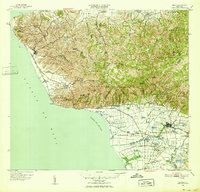
1949 · Rincon
USGS Topo · 1:30,000
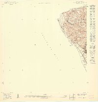
1950 · Rincon ONO
USGS Topo · 1:10,000