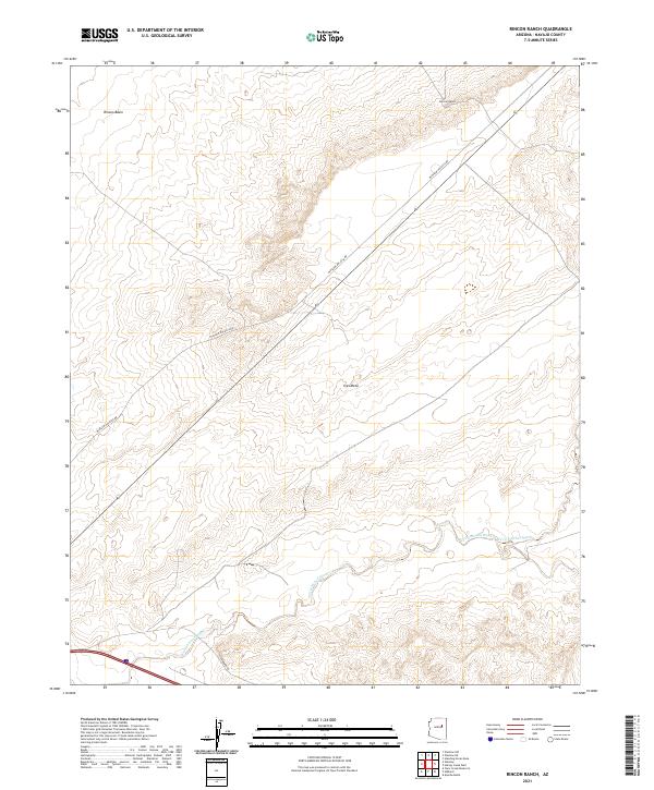
2021 Map of Rincon Ranch
USGS Topo · Published 2021About this map
Rincon Ranch sits within a landscape defined by expansive desert plateaus and drainage systems in Navajo County. This 2021 survey illustrates the modern topography of the Ives Mesa region, where the terrain is marked by the winding courses of Cottonwood Wash and Fern Feather Wash. The movement of water through these ephemeral channels has sculpted the Rincon Basin, creating a distinct geographic profile of ridges and lowlands typical of the high desert.
Find a feature on this map
11 named features on this map. Tap any name to fly to it.
Don’t see what you’re looking for? This feature index may not catch every label — zoom into the map to look around manually.
Map Details
Editions of this 2021 Rincon Ranch Map
This is the sole edition of this map. No revisions or reprints were ever made.
Other maps of this area

1883 · Tusayan
USGS Topo · 1:250,000

1886 · Tusayan
USGS Topo · 1:250,000

1886 · Holbrook
USGS Topo · 1:250,000

1893 · Holbrook
USGS Topo · 1:250,000

1947 · Flagstaff
USGS Topo · 1:250,000

1954 · Winslow
USGS Topo · 1:62,500

1954 · Winslow 4 NW
USGS Topo · 1:24,000

1954 · Winslow 4 SW
USGS Topo · 1:24,000

1954 · Winslow 4 SE
USGS Topo · 1:24,000

1954 · Winslow 4 NE
USGS Topo · 1:24,000