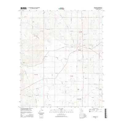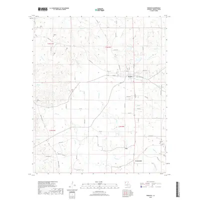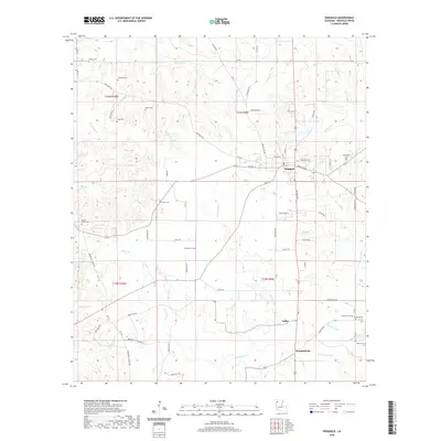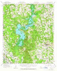
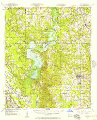
1956 Map of Ringgold
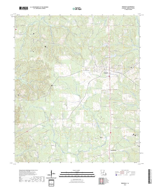
USGS Topo · Published 1964About this map
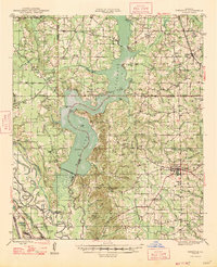
Lake Bistineau dominates this mid-century landscape, its waters punctuated by numerous named islands and landings including Plum Orchard Landing and Notes Landing. To the east, the settlement of Ringgold serves as a local hub, while smaller communities like Heflin, Koran, and Cooterville are connected by a network of rural roads and the Louisiana & Arkansas Rr. The area’s economic character is defined by a mix of natural resource extraction and agriculture, evidenced by the Bistineau Gasoline Plant, the New Salt Works, and scattered gravel pits.
Find a feature on this map
97 named features on this map. Tap any name to fly to it.
Don’t see what you’re looking for? This feature index may not catch every label — zoom into the map to look around manually.
Map Details
Editions of this 1956 Ringgold Map
2 editions found
Historical Maps of Haughton Through Time
9 maps found