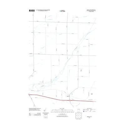
2013 Map of Ringle
USGS Topo · Published 2013About this map
The settlement of Ringle serves as a focal point in this Marathon County landscape, where the Eau Claire River and Little Eau Claire River wind through the countryside. The geography is defined by a dense network of tributaries including Mole Brook, Silver Cr, and Little Sandy Cr, illustrating the well-watered character of central Wisconsin. Local aviation is represented by the Flying 'O' Airport, while the eastern portion of the map includes the Marathon County Landfill. This 2013 survey provides a detailed view of the regional road network, showing how local routes like Sportsmans Rd and Lodholz Rd connect scattered homesteads and woodland tracts between the river valleys. The terrain remains largely dedicated to forestry and rural use, with Clay Pond and various branches of Big Sandy Creek marking the low-lying drainage patterns of the area.
Find a feature on this map
51 named features on this map. Tap any name to fly to it.
Don’t see what you’re looking for? This feature index may not catch every label — zoom into the map to look around manually.
Map Details
Editions of this 2013 Ringle Map
This is the sole edition of this map. No revisions or reprints were ever made.
Other maps of this area

1899 · Wausau
USGS Topo · 1:125,000

1902 · Wausau
USGS Topo · 1:125,000

1951 · Doering
USGS Topo · 1:48,000

1951 · Merrill
USGS Topo · 1:48,000

1953 · Wausau
USGS Topo · 1:48,000

1953 · Hatley
USGS Topo · 1:48,000

1954 · Iron Mountain
USGS Topo · 1:250,000

1955 · Green Bay
USGS Topo · 1:250,000

1959 · Iron Mountain
USGS Topo · 1:250,000
1963 · Wausau East
USGS Topo · 1:24,000