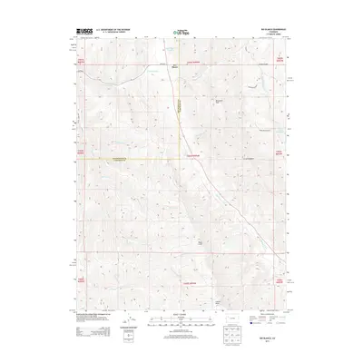
2013 Map of Rio Blanco
USGS Topo · Published 2013About this map
Rio Blanco sits at the northern edge of a landscape defined by significant geologic formations and the drainage systems of the Piceance Basin. The survey highlights the striking verticality of the Grand Hogback and the Roan Cliffs, which dominate the southern half of the quadrangle. These massive landforms are carved by numerous waterways including Government Creek, Trapper Creek, and Coughs Creek, which create a complex system of draws and gulches like Tichner Draw and Mullen Gulch.
Find a feature on this map
30 named features on this map. Tap any name to fly to it.
Don’t see what you’re looking for? This feature index may not catch every label — zoom into the map to look around manually.
Map Details
Editions of this 2013 Rio Blanco Map
This is the sole edition of this map. No revisions or reprints were ever made.
Other maps of this area

1906 · Grand Hogback
USGS Topo · 1:125,000

1910 · Grand Hogback
USGS Topo · 1:125,000

1925 · Parachute Creek
USGS Topo · 1:62,500

1927 · Parachute Creek
USGS Topo · 1:62,500

1952 · Rio Blanco
USGS Topo · 1:24,000

1952 · Anvil Points
USGS Topo · 1:24,000

1952 · Horse Mountain
USGS Topo · 1:24,000

1952 · Rifle
USGS Topo · 1:24,000

1952 · No Name Ridge
USGS Topo · 1:24,000

1956 · Grand Junction
USGS Topo · 1:250,000