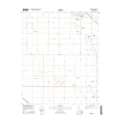
2015 Map of Rio Bravo
USGS Topo · Published 2015About this map
Agricultural development and industrial planning define the landscape near Shafter in this southern Central Valley region. The map reveals a rigid grid of transit corridors and property boundaries typical of the San Joaquin Valley’s productive farming interior. Small community clusters such as Smith Corner, Mexican Colony, and Thomas Lane appear as localized hubs within the larger township sections, reflecting the labor and settlement patterns of California’s agricultural heartland.
Find a feature on this map
67 named features on this map. Tap any name to fly to it.
Don’t see what you’re looking for? This feature index may not catch every label — zoom into the map to look around manually.
Map Details
Editions of this 2015 Rio Bravo Map
This is the sole edition of this map. No revisions or reprints were ever made.
Other maps of this area

1910 · Buena Vista Lake
USGS Topo · 1:125,000

1912 · Buena Vista Lake
USGS Topo · 1:125,000

1929 · Stevens
USGS Topo · 1:31,680

1929 · Coles Levee
USGS Topo · 1:31,680

1930 · Leonards
USGS Topo · 1:31,680

1930 · Wasco
USGS Topo · 1:31,680

1930 · Famoso
USGS Topo · 1:31,680

1930 · Rosedale
USGS Topo · 1:31,680

1931 · Rio Bravo
USGS Topo · 1:31,680

1932 · East Elk Hills
USGS Topo · 1:31,680