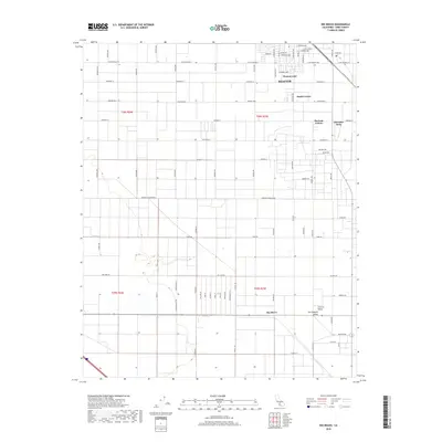
2018 Map of Rio Bravo
USGS Topo · Published 2018About this map
The agricultural grid of the southern San Joaquin Valley dominates this landscape, showing the organized development of Kern County. In the northern section, the town of Shafter serves as a hub, anchored by the Santa Fe Rwy corridor. The map reveals several distinct smaller communities and residential clusters, including Thomas Lane, Smith Corner, and Mexican Colony, reflecting the region's diverse settlement patterns. Further south, the community of Rio Bravo marks a transition point in the valley floor. The geography is characterized by an extensive network of straight-line roads, such as Central Ave and Seventh Standard Rd, which facilitate the industrial-scale farming operations that define this part of California. A curious historical pocket is found at Cherokee Strip, appearing as a small enclave within the broader township and range survey system.
Find a feature on this map
75 named features on this map. Tap any name to fly to it.
Don’t see what you’re looking for? This feature index may not catch every label — zoom into the map to look around manually.
Map Details
Editions of this 2018 Rio Bravo Map
This is the sole edition of this map. No revisions or reprints were ever made.
Other maps of this area

1910 · Buena Vista Lake
USGS Topo · 1:125,000

1912 · Buena Vista Lake
USGS Topo · 1:125,000

1929 · Stevens
USGS Topo · 1:31,680

1929 · Coles Levee
USGS Topo · 1:31,680

1930 · Leonards
USGS Topo · 1:31,680

1930 · Wasco
USGS Topo · 1:31,680

1930 · Famoso
USGS Topo · 1:31,680

1930 · Rosedale
USGS Topo · 1:31,680

1931 · Rio Bravo
USGS Topo · 1:31,680

1932 · East Elk Hills
USGS Topo · 1:31,680