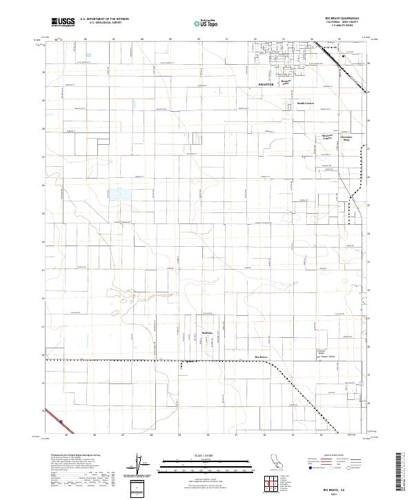
2021 Map of Rio Bravo
USGS Topo · Published 2021About this map
Agricultural and transportation corridors define the landscape of the southern Central Valley San Joaquin Valley north of the Kern River. The southern extent of Shafter anchors the northern portion of the map, where residential streets like Mettler Ave and S Schmidt St give way to industrial and rural clusters. To the east, the Santa Fe Rwy cuts a diagonal path through the valley, passing near the distinct residential pockets of Mexican Colony and Cherokee Strip.
Find a feature on this map
73 named features on this map. Tap any name to fly to it.
Don’t see what you’re looking for? This feature index may not catch every label — zoom into the map to look around manually.
Map Details
Editions of this 2021 Rio Bravo Map
This is the sole edition of this map. No revisions or reprints were ever made.
Other maps of this area

1910 · Buena Vista Lake
USGS Topo · 1:125,000

1912 · Buena Vista Lake
USGS Topo · 1:125,000

1929 · Stevens
USGS Topo · 1:31,680

1929 · Coles Levee
USGS Topo · 1:31,680

1930 · Leonards
USGS Topo · 1:31,680

1930 · Wasco
USGS Topo · 1:31,680

1930 · Famoso
USGS Topo · 1:31,680

1930 · Rosedale
USGS Topo · 1:31,680

1931 · Rio Bravo
USGS Topo · 1:31,680

1932 · East Elk Hills
USGS Topo · 1:31,680