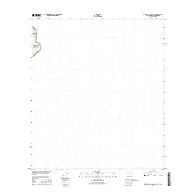
2016 Map of Rio Grande Village OE E
USGS Topo · Published 2016About this map
Rio Grande waters define the western edge of this remote borderland quadrangle along the international boundary between Texas and Mexico. Located within Brewster Co, the map focuses on the protected wilderness of Big Bend National Park, specifically where the desert terrain meets the corridor of the Rio Grande Wild and Scenic River. The topography is dominated by the intricate drainage systems and arroyos that feed into the river basin, illustrating the stark natural landscape of the Trans-Pecos region. As a 2016 survey, it documents the preservation of this desert environment and the specific course of the river at a time of continued ecological focus in the American Southwest.
Find a feature on this map
5 named features on this map. Tap any name to fly to it.
Don’t see what you’re looking for? This feature index may not catch every label — zoom into the map to look around manually.
Map Details
Editions of this 2016 Rio Grande Village OE E Map
This is the sole edition of this map. No revisions or reprints were ever made.
Other maps of this area

1930 · Stillwell Creek
USGS Topo · 1:62,500

1959 · Emory Peak
USGS Topo · 1:250,000

1965 · Emory Peak
USGS Topo · 1:250,000
1971 · Ernst Valley
USGS Topo · 1:24,000
1971 · Boquillas
USGS Topo · 1:24,000
1984 · Boquillas
USGS Topo · 1:100,000
2010 · Ernst Valley
USGS Topo · 1:24,000
2010 · Rio Grande Village
USGS Topo · 1:24,000
2011 · Stillwell Crossing OE S
USGS Topo · 1:24,000
2011 · Rio Grande Village OE E
USGS Topo · 1:24,000