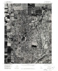
2022 Map of Rio Linda
USGS Topo · Published 2022About this map
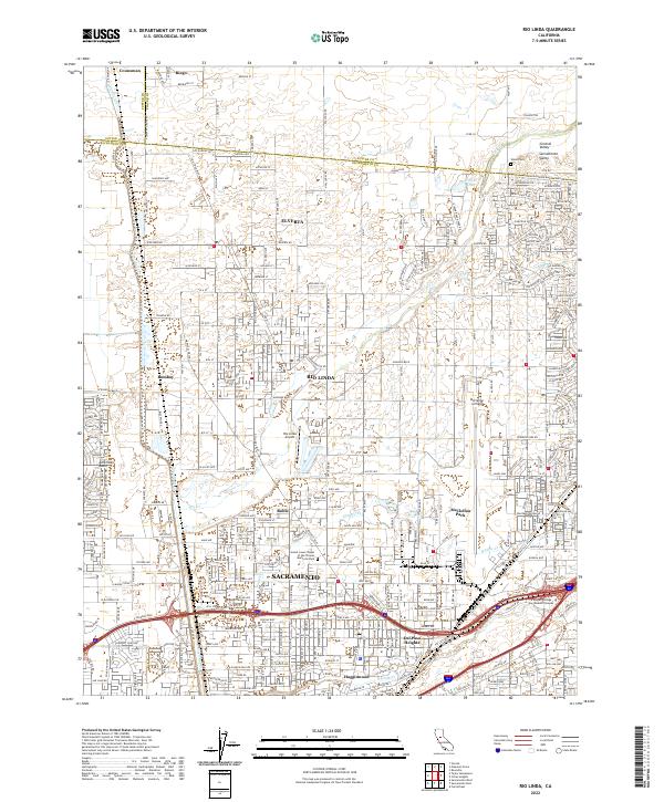
Rio Linda and the surrounding northern reaches of the Sacramento Valley are shown here during a period of sustained suburban and industrial density. The landscape is defined by the heavy infrastructure of northern Sacramento, including the expansive McClellan Airfield and the smaller Rio Linda Airport. Waterways like Steelhead Cr, Dry Cr, and Arcade Cr weave through residential developments and light industrial zones, providing a natural drainage system for the American Basin. Community landmarks are well-represented, from the sprawling Gibson Ranch Park and Gibson Lake in the north to the Sunset Lawn Chapel of the Chimes Memorial Park further south. The map also captures the educational footprint of the area at Kaplan College - Sacramento Campus, alongside established neighborhoods in Robla, Del Paso Heights, and Hagginwood.
Find a feature on this map
321 named features on this map. Tap any name to fly to it.
Don’t see what you’re looking for? This feature index may not catch every label — zoom into the map to look around manually.
Map Details
Editions of this 2022 Rio Linda Map
This is the sole edition of this map. No revisions or reprints were ever made.
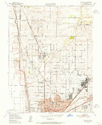
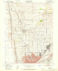
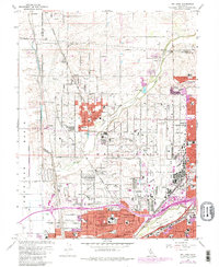
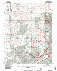
Historical Maps of Robla Through Time
6 maps found