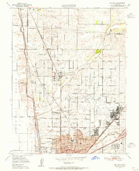
1950 Map of Rio Linda
USGS Topo · Published 1955About this map
Rio Linda and the surrounding northern Sacramento valley appear as a landscape of transitioning agriculture and emerging postwar development in this 1950 survey. The map is anchored by the sprawling McClellan Field and the adjacent industrial and residential growth in Del Paso Heights. Educational and community centers are well-defined, including Grant Union High School, Grant Tech College, and several local campuses like Fruitvale School and Bell Ave School.
Find a feature on this map
46 named features on this map. Tap any name to fly to it.
Don’t see what you’re looking for? This feature index may not catch every label — zoom into the map to look around manually.
Map Details
Editions of this 1950 Rio Linda Map
This is the sole edition of this map. No revisions or reprints were ever made.
Other maps of this area

1891 · Sacramento
USGS Topo · 1:125,000

1892 · Sacramento
USGS Topo · 1:125,000

1893 · Sacramento
USGS Topo · 1:125,000

1902 · Fairoaks
USGS Topo · 1:62,500

1907 · Davisville
USGS Topo · 1:62,500

1910 · Roseville
USGS Topo · 1:31,680

1910 · Vernon
USGS Topo · 1:31,680

1910 · Pleasant Grove
USGS Topo · 1:31,680

1911 · Brighton
USGS Topo · 1:31,680

1911 · Mills
USGS Topo · 1:31,680