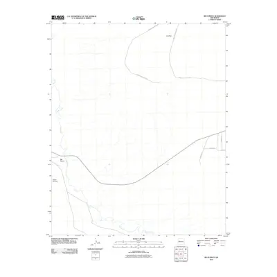
2010 Map of Rio Puerco
USGS Topo · Published 2010About this map
The eponymous Rio Puerco riverbed and the small settlement of Rio Puerco define the character of this arid New Mexico landscape. The drainage system is the dominant geographical force here, with Arroyo Garcia feeding into the main river channel as it snakes through the valley floor. To the north and west, the topography rises into prominent landforms such as Cat Mesa and Hidden Mountain, which provide significant vertical relief against the surrounding flats.
Find a feature on this map
11 named features on this map. Tap any name to fly to it.
Don’t see what you’re looking for? This feature index may not catch every label — zoom into the map to look around manually.
Map Details
Editions of this 2010 Rio Puerco Map
This is the sole edition of this map. No revisions or reprints were ever made.
Other maps of this area

1917 · Cerro Verde
USGS Topo · 1:125,000

1952 · Wind Mesa
USGS Topo · 1:24,000

1952 · Dalies
USGS Topo · 1:24,000

1952 · Belen
USGS Topo · 1:24,000

1952 · Belen NW
USGS Topo · 1:24,000

1952 · Rio Puerco
USGS Topo · 1:24,000

1952 · Dalies NW
USGS Topo · 1:24,000

1954 · South Garcia
USGS Topo · 1:24,000

1954 · South Garcia SE
USGS Topo · 1:24,000

1954 · Socorro
USGS Topo · 1:250,000