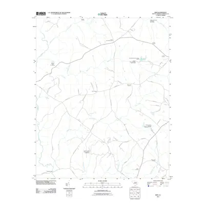
2011 Map of Rion
USGS Topo · Published 2011About this map
Milling Crossroads and the settlement at Glenns Bridge anchor this Fairfield County landscape, where family history is etched into numerous small burial grounds. The map reveals a dense network of ancestral sites including the Gladney Cemetery in the north and the Molly Alston Cemetery to the southeast. Water management is a defining characteristic of the terrain, evidenced by the Winnsboro Reservoir and a series of controlled water bodies like the Macfie Pond D-1568 Dam and several Jackson Mill Creek structures.
Find a feature on this map
68 named features on this map. Tap any name to fly to it.
Don’t see what you’re looking for? This feature index may not catch every label — zoom into the map to look around manually.
Map Details
Editions of this 2011 Rion Map
This is the sole edition of this map. No revisions or reprints were ever made.
Other maps of this area

1904 · Columbia
USGS Topo · 1:125,000

1941 · Spartanburg
USGS Topo · 1:250,000

1947 · Richtex
USGS Topo · 1:24,000

1949 · Richtex
USGS Topo · 1:24,000

1949 · Irmo NE
USGS Topo · 1:24,000

1953 · Spartanburg
USGS Topo · 1:250,000

1960 · Spartanburg
USGS Topo · 1:250,000

1963 · Spartanburg
USGS Topo · 1:250,000

1964 · Spartanburg
USGS Topo · 1:250,000

1969 · Lebanon
USGS Topo · 1:24,000