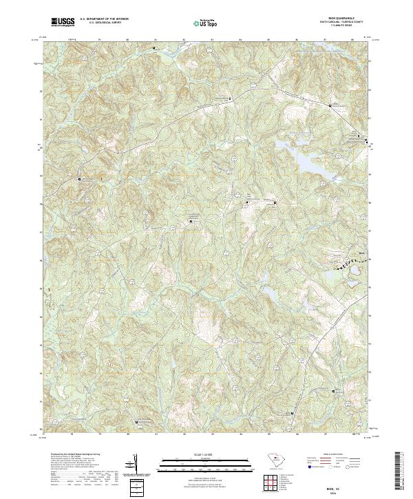
2024 Map of Rion
USGS Topo · Published 2024About this map
Fairfield County's rural landscape is defined by its deep spiritual and genealogical roots, centered around the settlement of Rion. This territory is characterized by a dense network of small rural cemeteries and churchyards, such as the Bethel Church Graveyard and Saint Matthews Church Graveyard, which anchor long-standing family homesteads. The topography is shaped by the numerous tributaries feeding the Little River, including Jackson Creek and Morris Creek, which carve through the Piedmont terrain.
Find a feature on this map
71 named features on this map. Tap any name to fly to it.
Don’t see what you’re looking for? This feature index may not catch every label — zoom into the map to look around manually.
Map Details
Editions of this 2024 Rion Map
This is the sole edition of this map. No revisions or reprints were ever made.
Other maps of this area

1904 · Columbia
USGS Topo · 1:125,000

1941 · Spartanburg
USGS Topo · 1:250,000

1947 · Richtex
USGS Topo · 1:24,000

1949 · Richtex
USGS Topo · 1:24,000

1949 · Irmo NE
USGS Topo · 1:24,000

1953 · Spartanburg
USGS Topo · 1:250,000

1960 · Spartanburg
USGS Topo · 1:250,000

1963 · Spartanburg
USGS Topo · 1:250,000

1964 · Spartanburg
USGS Topo · 1:250,000

1969 · Lebanon
USGS Topo · 1:24,000