
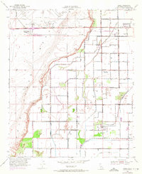
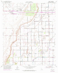
1952 Map of Ripley
USGS Topo · Published 1953About this map
The irrigated desert landscape of the Palo Verde Valley comes into sharp focus through the extensive network of canals and drains managed for agriculture. Settlements like Ripley and Nicholls Warm Springs anchor the southern reaches of this grid, where the Atchison Topeka and Santa Fe railroad serves the local economy. The mapping reflects a period of mid-century infrastructure expansion, marked by the presence of Blythe Airport and specialized sites such as the Neighbors Community Farm Center and Radio Sta KYOR.
Find a feature on this map
41 named features on this map. Tap any name to fly to it.
Don’t see what you’re looking for? This feature index may not catch every label — zoom into the map to look around manually.
Map Details
Editions of this 1952 Ripley Map
3 editions found
Other maps of this area

1942 · Blythe
USGS Topo · 1:250,000

1945 · Cibola
USGS Topo · 1:62,500

1951 · Blythe
USGS Topo · 1:24,000

1951 · McCoy Wash
USGS Topo · 1:24,000

1951 · Blythe NE
USGS Topo · 1:24,000

1951 · Cibola
USGS Topo · 1:62,500

1952 · Mule Wash
USGS Topo · 1:24,000

1952 · Mc Coy Spring
USGS Topo · 1:62,500

1952 · Palo Verde
USGS Topo · 1:24,000

1953 · Palo Verde Mountains
USGS Topo · 1:62,500