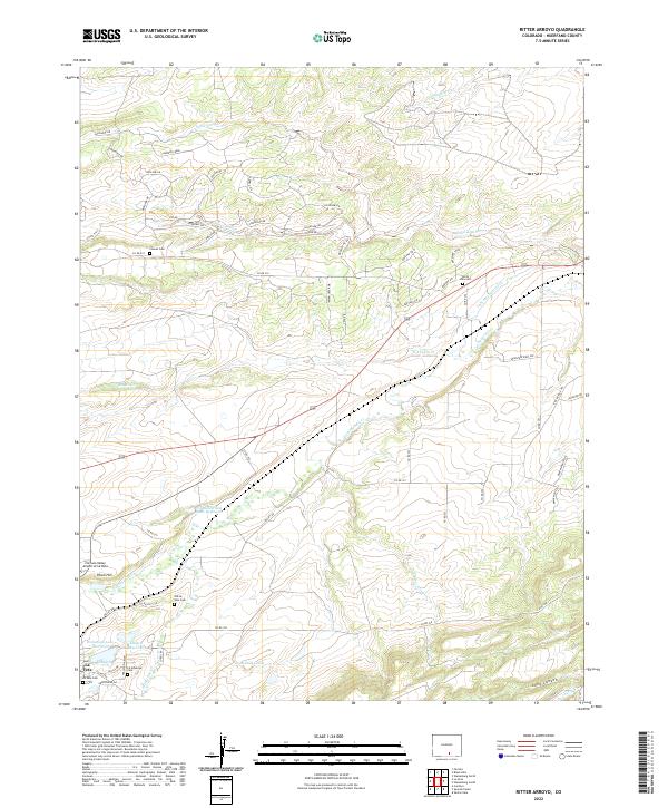
2022 Map of Ritter Arroyo
USGS Topo · Published 2022About this map
La Veta serves as the primary hub in this Huerfano County landscape, where the modern Cuchara Valley Airport sits near older landmarks like Pinon Hill. The area's water management is notably complex, defined by irrigation and storage features such as the Lake Merriam Ditch, the J G Smith and Sons Reservoir, and Daigre Reservoir. This network of ditches and reservoirs suggests an enduring reliance on managed water for ranching or agriculture in the high plains environment. For genealogists, the map is particularly detailed regarding burial sites, documenting the La Veta Cem, Old La Veta Cem, North Veta Cem, and Chavez Cem. The terrain is cut by numerous seasonal drainages, including the eponymous Ritter Arroyo and Pietou Arroyo, which feed toward the Cucharas River. Residential development is visible in the network of roads named for indigenous tribes, such as Comanche Dr and Apache Dr, north of the town center.
Find a feature on this map
68 named features on this map. Tap any name to fly to it.
Don’t see what you’re looking for? This feature index may not catch every label — zoom into the map to look around manually.
Map Details
Editions of this 2022 Ritter Arroyo Map
This is the sole edition of this map. No revisions or reprints were ever made.
Other maps of this area

1889 · Huerfano Park
USGS Topo · 1:125,000

1891 · Walsenburg
USGS Topo · 1:125,000

1891 · Spanish Peaks
USGS Topo · 1:125,000

1892 · Huerfano Park
USGS Topo · 1:125,000

1893 · Spanish Peaks
USGS Topo · 1:125,000

1894 · Walsenburg
USGS Topo · 1:125,000

1895 · Spanish Peaks
USGS Topo · 1:125,000

1897 · Walsenburg
USGS Topo · 1:125,000

1897 · Spanish Peaks
USGS Topo · 1:125,000

1900 · Spanish Peaks
USGS Topo · 1:125,000