Loading...
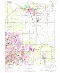
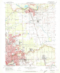
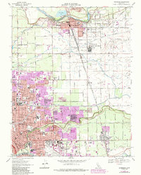
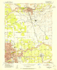
Loading map...1969 Map of Riverbank
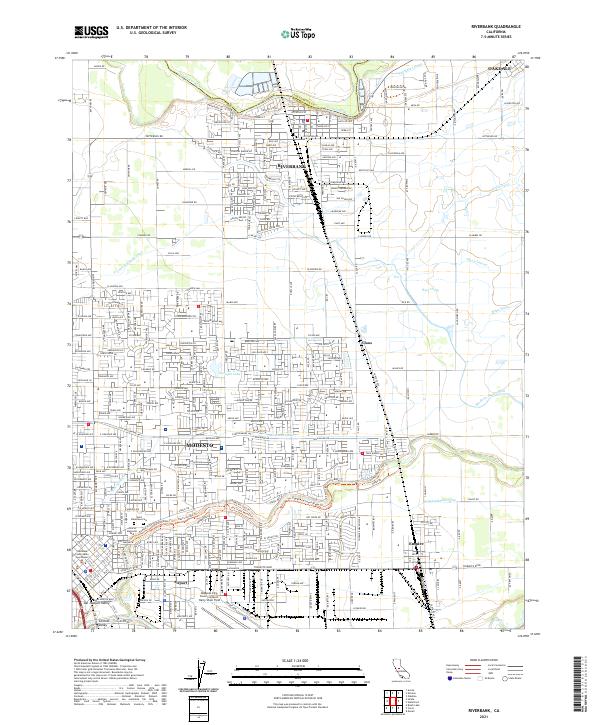
USGS Topo · Published 1978About this map
The Stanislaus River and Tuolumne River define the northern and southern bounds of this Central Valley landscape, where agriculture and industry intersect near the city of Modesto. The sprawling Riverbank Army Ammunition Plant stands as a significant federal installation between Riverbank and the unincorporated community of Claus. The map reveals an intricate water management system vital to the region's development, including the Hetch Hetchy Aqueduct, the Modesto Main Canal, and numerous laterals.
Find a feature on this map
56 named features on this map. Tap any name to fly to it.
Don’t see what you’re looking for? This feature index may not catch every label — zoom into the map to look around manually.
Map Details
Date Portrayed1969
Date Published1978
PublisherU.S. Geological Survey
Map TypeTopographic
Scale1:24,000
Physical Dimensions22 x 26.8 inches
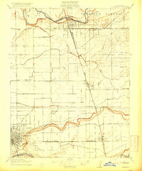
Editions of this 1969 Riverbank Map
3 editions found
Historical Maps of Modesto Through Time
7 maps found
Featured Locations
Source Details
SourceU.S. Geological Survey
CopyrightPublic Domain