Loading...
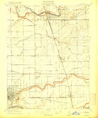
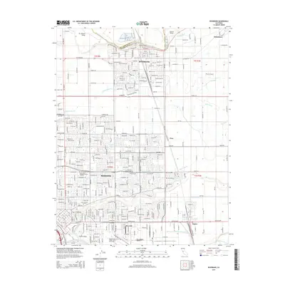
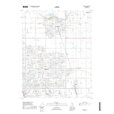
Loading map...1953 Map of Riverbank
USGS Topo · Published 1954About this map
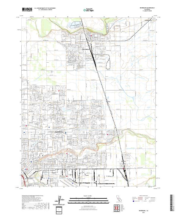
The Stanislaus River and Tuolumne River bracket this fertile agricultural landscape in the Central Valley, defined by a rigid grid of irrigation canals like Modesto Main Canal and Lateral No 6. Central to the industrial character of the era is the Riverbank Ordnance Plant, situated along the Atchison Topeka and Santa Fe railroad north of the burgeoning city of Modesto.
Find a feature on this map
118 named features on this map. Tap any name to fly to it.
Don’t see what you’re looking for? This feature index may not catch every label — zoom into the map to look around manually.
Map Details
Date Portrayed1953
Date Published1954
PublisherU.S. Geological Survey
Map TypeTopographic
Scale1:24,000
Physical Dimensions21.9 x 26.8 inches
Editions of this 1953 Riverbank Map
This is the sole edition of this map. No revisions or reprints were ever made.
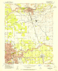
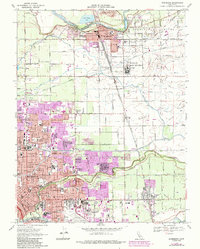
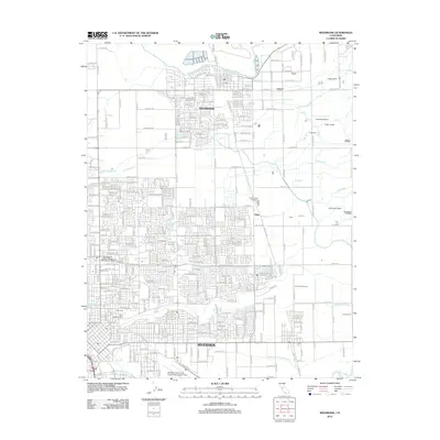
Historical Maps of Modesto Through Time
7 maps found
Featured Locations
Source Details
SourceU.S. Geological Survey
CopyrightPublic Domain