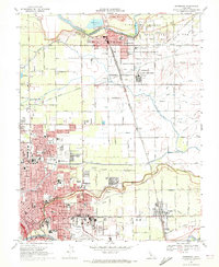
1969 Map of Riverbank
USGS Topo · Published 1972About this map
The Stanislaus River and Tuolumne River define this fertile corridor of the San Joaquin Valley, where industrial growth and irrigation infrastructure meet. Centered on the city of Riverbank, the landscape is partitioned by a dense network of water management, including the Hetch Hetchy Aqueduct and numerous irrigation channels like Modesto Lateral No 3. A significant military and industrial presence is noted at the Riverbank Army Ammunition Plant, situated north of Claus. To the south, the expansion of Modesto is evident through emerging residential tracts like Moran Estates and public facilities such as the Stanislaus Memorial Hospital. The convergence of the Atchison Topeka and Santa Fe Railway and the Tidewater Southern Railway underscores the area's importance as a transportation and agricultural hub during the late 1960s.
Find a feature on this map
122 named features on this map. Tap any name to fly to it.
Don’t see what you’re looking for? This feature index may not catch every label — zoom into the map to look around manually.
Map Details
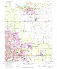
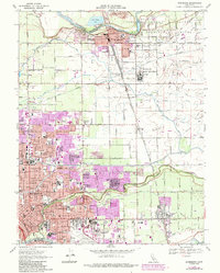
Editions of this 1969 Riverbank Map
3 editions found
Other maps of this area

1914 · Avena
USGS Topo · 1:31,680

1915 · Oakdale
USGS Topo · 1:31,680

1915 · Westport
USGS Topo · 1:31,680

1915 · Salida
USGS Topo · 1:31,680

1915 · Thalheim
USGS Topo · 1:31,680

1916 · Riverbank
USGS Topo · 1:31,680

1916 · Denair
USGS Topo · 1:31,680

1916 · Waterford
USGS Topo · 1:31,680

1916 · Ceres
USGS Topo · 1:31,680

1939 · Modesto East
USGS Topo · 1:62,500