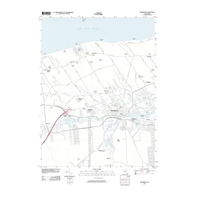
2010 Map of Riverhead
USGS Topo · Published 2010About this map
The Peconic River and its accompanying wetlands, including the Cedar Swamp, define the southern geography of this 2010 survey of Riverhead. The township serves as a central hub for the surrounding North Fork agricultural landscape, where family-run operations like Philip A Schmitt And Son Farms and Briermere Farms sit alongside modern viticulture at Roanoke Vineyards. Along the shoreline of the Long Island Sound, residential clusters such as Reeves Park are situated near coastal landmarks like Friars Head.
Find a feature on this map
96 named features on this map. Tap any name to fly to it.
Don’t see what you’re looking for? This feature index may not catch every label — zoom into the map to look around manually.
Map Details
Editions of this 2010 Riverhead Map
This is the sole edition of this map. No revisions or reprints were ever made.
Other maps of this area

1903 · Riverhead
USGS Topo · 1:62,500

1904 · Riverhead
USGS Topo · 1:62,500

1904 · Moriches
USGS Topo · 1:62,500

1943 · Riverhead
USGS Topo · 1:62,500

1947 · Mattituck
USGS Topo · 1:24,000

1947 · Mattituck Hills
USGS Topo · 1:24,000

1947 · Riverhead
USGS Topo · 1:24,000

1947 · Quogue
USGS Topo · 1:24,000

1947 · Eastport
USGS Topo · 1:24,000

1947 · Hartford
USGS Topo · 1:250,000