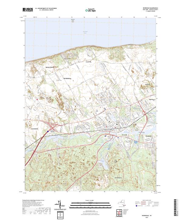
2023 Map of Riverhead
USGS Topo · Published 2023About this map
Riverhead sits at the head of navigation for the Peconic River, serving as a central hub for Suffolk County's legal and civic life. This modern survey details the town's role as a county seat, featuring the Suffolk County Courthouse and the Honorable Alan D Oshrin Supreme Court Building. The landscape transitions from the residential and commercial density of the town center to the open agricultural tracts near Aquebogue and the coastal settlements of Baiting Hollow and Reeves Park along the Long Island Sound.
Find a feature on this map
50 named features on this map. Tap any name to fly to it.
Don’t see what you’re looking for? This feature index may not catch every label — zoom into the map to look around manually.
Map Details
Editions of this 2023 Riverhead Map
This is the sole edition of this map. No revisions or reprints were ever made.
Other maps of this area

1903 · Riverhead
USGS Topo · 1:62,500

1904 · Riverhead
USGS Topo · 1:62,500

1904 · Moriches
USGS Topo · 1:62,500

1943 · Riverhead
USGS Topo · 1:62,500

1947 · Mattituck
USGS Topo · 1:24,000

1947 · Mattituck Hills
USGS Topo · 1:24,000

1947 · Riverhead
USGS Topo · 1:24,000

1947 · Quogue
USGS Topo · 1:24,000

1947 · Eastport
USGS Topo · 1:24,000

1947 · Hartford
USGS Topo · 1:250,000