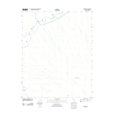
2012 Map of Riverside
USGS Topo · Published 2012About this map
The Virgin River carves a fertile path through this section of the Mojave Desert, where several low-lying river flats or "bottoms" supported local agricultural efforts. These include Latham Bottom, Cook Bottom, and Arnold Bottom, which provided essential arable land in a landscape otherwise defined by the arid slopes of Bunkerville Ridge. The small community of Riverside serves as the focal point for several family-named ranching operations that dot the western edge of the river valley.
Find a feature on this map
18 named features on this map. Tap any name to fly to it.
Don’t see what you’re looking for? This feature index may not catch every label — zoom into the map to look around manually.
Map Details
Editions of this 2012 Riverside Map
This is the sole edition of this map. No revisions or reprints were ever made.
Other maps of this area

1886 · Saint Thomas
USGS Topo · 1:250,000

1893 · Saint Thomas
USGS Topo · 1:250,000

1954 · Las Vegas
USGS Topo · 1:250,000

1957 · Las Vegas
USGS Topo · 1:250,000

1957 · Mesquite
USGS Topo · 1:62,500

1958 · Virgin Peak
USGS Topo · 1:62,500

1958 · Overton
USGS Topo · 1:62,500

1959 · Las Vegas
USGS Topo · 1:250,000

1962 · Las Vegas
USGS Topo · 1:250,000
1969 · Moapa Peak SE
USGS Topo · 1:24,000