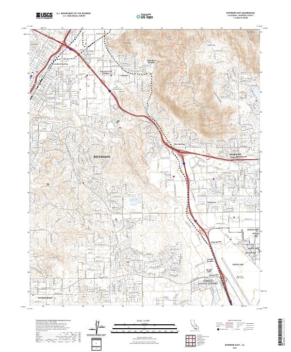
2022 Map of Riverside East
USGS Topo · Published 2022About this map
Riverside and the eastern edge of the Inland Empire are defined here by a dense suburban grid that meets the rugged, natural breaks of the Box Springs Mountains. This modern landscape is heavily influenced by the presence of March ARB and the sprawling grounds of the Riverside National Cemetery to the south. Historically significant infrastructure like the Gage Canal and the Governor Edmund G Brown Jr California Aqueduct traces the contours of the land, illustrating the region's long-term reliance on engineered water systems.
Find a feature on this map
42 named features on this map. Tap any name to fly to it.
Don’t see what you’re looking for? This feature index may not catch every label — zoom into the map to look around manually.
Map Details
Editions of this 2022 Riverside East Map
This is the sole edition of this map. No revisions or reprints were ever made.
Other maps of this area

1896 · San Bernardino
USGS Topo · 1:62,500

1898 · San Bernardino
USGS Topo · 1:62,500

1899 · Redlands
USGS Topo · 1:62,500

1901 · Southern California Sheet No. 1
USGS Topo · 1:250,000

1901 · San Bernardino
USGS Topo · 1:62,500

1901 · Redlands
USGS Topo · 1:62,500

1901 · Elsinore
USGS Topo · 1:125,000

1901 · Riverside
USGS Topo · 1:62,500

1904 · Southern California Sheet No. 1
USGS Topo · 1:250,000
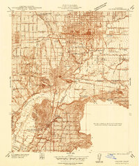
1938 · Colton
USGS Topo · 1:31,680