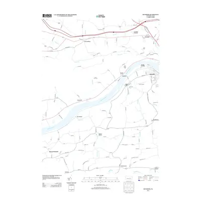
2013 Map of Riverside
USGS Topo · Published 2013About this map
The Susquehanna River carves through the heart of this North Central Pennsylvania landscape, defining the development of communities like South Danville and Riverside. The river's path is mirrored by the Norfolk Southern rail line and major corridors such as Route 11, which connects small riverfront settlements including Chulasky, Kipps Run, and Cameron. These valley towns contrast with the upland geography of Bald Top and the curiously named Devils Feather Bed.
Find a feature on this map
128 named features on this map. Tap any name to fly to it.
Don’t see what you’re looking for? This feature index may not catch every label — zoom into the map to look around manually.
Map Details
Editions of this 2013 Riverside Map
This is the sole edition of this map. No revisions or reprints were ever made.
Other maps of this area

1892 · Shamokin
USGS Topo · 1:62,500

1893 · Sunbury
USGS Topo · 1:62,500

1893 · Shamokin
USGS Topo · 1:62,500

1924 · Milton
USGS Topo · 1:62,500

1935 · Hughesville
USGS Topo · 1:62,500

1943 · Shamokin
USGS Topo · 1:62,500

1943 · Sunbury
USGS Topo · 1:62,500

1950 · Harrisburg
USGS Topo · 1:250,000

1952 · Shamokin
USGS Topo · 1:62,500

1953 · Hughesville
USGS Topo · 1:62,500