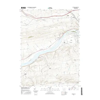
2016 Map of Riverside
USGS Topo · Published 2016About this map
The Susquehanna River carves a central path through this section of central Pennsylvania, dividing the terrain between Montour and Northumberland counties. Along the northern bank, the borough of Danville and its neighbor Mausdale sit near the base of Bald Top, while the southern bank features the community of Riverside. This landscape is marked by small settlements and historic crossroads like Mooresburg, Chulasky, and Klines Grove, reflecting a long-standing agricultural and transport network.
Find a feature on this map
137 named features on this map. Tap any name to fly to it.
Don’t see what you’re looking for? This feature index may not catch every label — zoom into the map to look around manually.
Map Details
Editions of this 2016 Riverside Map
This is the sole edition of this map. No revisions or reprints were ever made.
Other maps of this area

1892 · Shamokin
USGS Topo · 1:62,500

1893 · Sunbury
USGS Topo · 1:62,500

1893 · Shamokin
USGS Topo · 1:62,500

1924 · Milton
USGS Topo · 1:62,500

1935 · Hughesville
USGS Topo · 1:62,500

1943 · Shamokin
USGS Topo · 1:62,500

1943 · Sunbury
USGS Topo · 1:62,500

1950 · Harrisburg
USGS Topo · 1:250,000

1952 · Shamokin
USGS Topo · 1:62,500

1953 · Hughesville
USGS Topo · 1:62,500