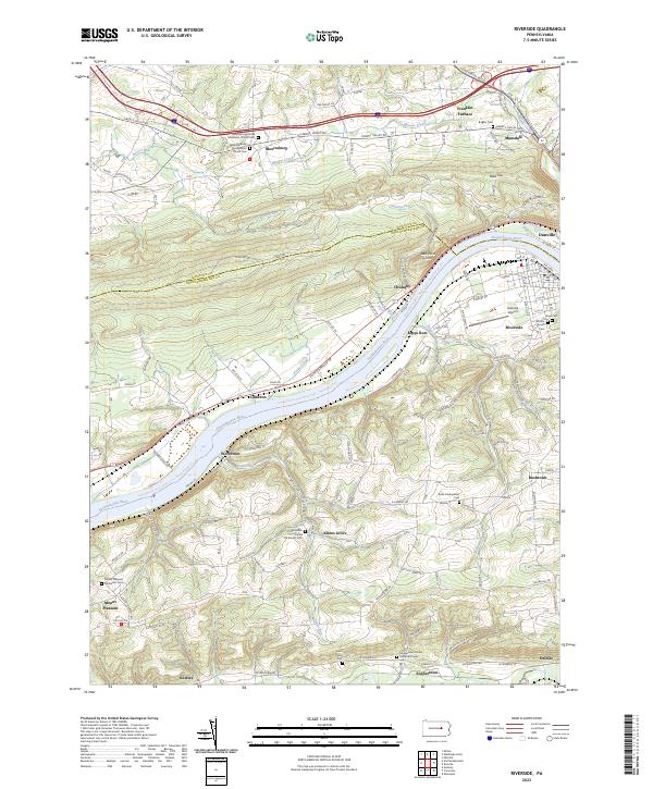
2023 Map of Riverside
USGS Topo · Published 2023About this map
The Susquehanna River defines the geography of this central Pennsylvania region, where the North Branch flows between the steep banks of Red Point Hill and the valley floor. Settlement is concentrated in the riverside towns of Riverside and Danville, but the surrounding hills are dotted with small hamlets and agricultural junctions like Mooresburg, Rushtown, and Klines Grove. The presence of Franklin Furnace points to the area's industrial legacy, while the Danville Airport serves as a modern transportation hub along the river's bend.
Find a feature on this map
115 named features on this map. Tap any name to fly to it.
Don’t see what you’re looking for? This feature index may not catch every label — zoom into the map to look around manually.
Map Details
Editions of this 2023 Riverside Map
This is the sole edition of this map. No revisions or reprints were ever made.
Other maps of this area

1892 · Shamokin
USGS Topo · 1:62,500

1893 · Sunbury
USGS Topo · 1:62,500

1893 · Shamokin
USGS Topo · 1:62,500

1924 · Milton
USGS Topo · 1:62,500

1935 · Hughesville
USGS Topo · 1:62,500

1943 · Shamokin
USGS Topo · 1:62,500

1943 · Sunbury
USGS Topo · 1:62,500

1950 · Harrisburg
USGS Topo · 1:250,000

1952 · Shamokin
USGS Topo · 1:62,500

1953 · Hughesville
USGS Topo · 1:62,500