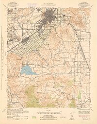
1943 Map of Riverside
USGS Topo · Published 1943About this map
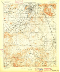
The Santa Ana River corridor serves as the anchor for this wartime survey, showing the agricultural and institutional development of Riverside during the early 1940s. The landscape is a mix of dense residential grids and expansive ranch lands, featuring numerous family-held properties like Diamond B Ranch and Morris Washington Ranch. Significant land use is dedicated to research and education, notably the U of Calif Citrus Exp Sta and the Sherman Institute.
Find a feature on this map
86 named features on this map. Tap any name to fly to it.
Don’t see what you’re looking for? This feature index may not catch every label — zoom into the map to look around manually.
Map Details
Editions of this 1943 Riverside Map
This is the sole edition of this map. No revisions or reprints were ever made.
Other maps of this area
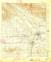
1896 · San Bernardino
USGS Topo · 1:62,500
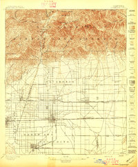
1897 · Cucamonga
USGS Topo · 1:62,500
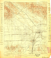
1898 · San Bernardino
USGS Topo · 1:62,500
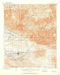
1899 · Redlands
USGS Topo · 1:62,500
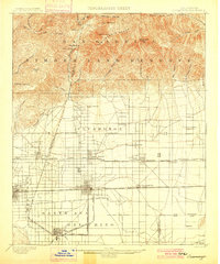
1900 · Cucamonga
USGS Topo · 1:62,500

1901 · Southern California Sheet No. 1
USGS Topo · 1:250,000
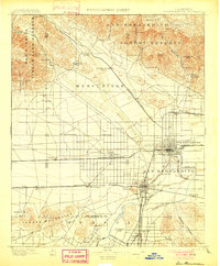
1901 · San Bernardino
USGS Topo · 1:62,500
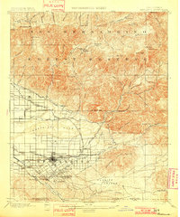
1901 · Redlands
USGS Topo · 1:62,500

1901 · Elsinore
USGS Topo · 1:125,000
1901 · Riverside
USGS Topo · 1:62,500