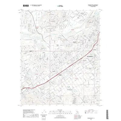
2018 Map of Riverside West
USGS Topo · Published 2018About this map
The Santa Ana River winds through this urbanized landscape, serving as a geographic anchor for the diverse communities of Riverside, Jurupa Valley, and Rubidoux. This contemporary survey illustrates the complex water management infrastructure essential to the region, including the Riverside Canal, Gage Canal, and the Arlington Valley Channel. Academic and aviation hubs are prominent, with California Baptist Univ and La Sierra Univ established alongside the Riverside Municipal Airport and Flabob Airport.
Find a feature on this map
46 named features on this map. Tap any name to fly to it.
Don’t see what you’re looking for? This feature index may not catch every label — zoom into the map to look around manually.
Map Details
Editions of this 2018 Riverside West Map
This is the sole edition of this map. No revisions or reprints were ever made.
Other maps of this area

1896 · San Bernardino
USGS Topo · 1:62,500

1897 · Cucamonga
USGS Topo · 1:62,500

1898 · San Bernardino
USGS Topo · 1:62,500

1900 · Cucamonga
USGS Topo · 1:62,500

1901 · Southern California Sheet No. 1
USGS Topo · 1:250,000

1901 · San Bernardino
USGS Topo · 1:62,500

1901 · Elsinore
USGS Topo · 1:125,000

1901 · Riverside
USGS Topo · 1:62,500

1902 · Corona
USGS Topo · 1:125,000

1903 · Cucamonga
USGS Topo · 1:62,500