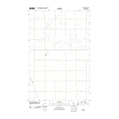
2010 Map of Roan
USGS Topo · Published 2010About this map
Roan sits at a crossroads in the western portion of Polk County, surrounded by the geometric precision of the Red River Valley's agricultural grid. The landscape is defined by the meandering courses of the Snake River and the South Branch Snake River, which cut through the level terrain. In the center of the quadrangle, the Warren Municipal Airport serves as a modern aviation hub for the surrounding rural communities. A network of township roads and county routes, including County Hwy-69 and the aptly named Great Eastern road, connects the scattered farmsteads. This 2010 survey illustrates the persistent importance of regional drainage and transport infrastructure in maintaining the productivity of this northern Minnesota farmland.
Find a feature on this map
27 named features on this map. Tap any name to fly to it.
Don’t see what you’re looking for? This feature index may not catch every label — zoom into the map to look around manually.
Map Details
Editions of this 2010 Roan Map
This is the sole edition of this map. No revisions or reprints were ever made.
Other maps of this area

1918 · Angus
USGS Topo · 1:62,500

1918 · Argyle
USGS Topo · 1:62,500

1918 · Warren
USGS Topo · 1:62,500

1952 · Thief River Falls
USGS Topo · 1:250,000

1954 · Stephen
USGS Topo · 1:62,500

1955 · Warren
USGS Topo · 1:62,500

1956 · Thief River Falls
USGS Topo · 1:250,000

1956 · Florian
USGS Topo · 1:62,500

1957 · Thief River Falls
USGS Topo · 1:250,000

1961 · Radium
USGS Topo · 1:24,000