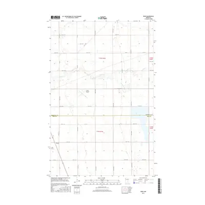
2016 Map of Roan
USGS Topo · Published 2016About this map
The boundary between Marshall and Polk counties bisects this section of the Red River Valley, where the grid of agricultural roads is interrupted by the meandering course of the Snake River and its tributary, the S Br Snake River. Near the western edge, the small settlement of Roan sits at the intersection of 190th St NW and 320th Ave NW, adjacent to the small landing strip of the Roan Airport. Further north, the larger Warren Municipal Airport occupies a prominent position in the landscape, reflecting the importance of regional aviation in this rural expanse. The landscape is defined by its rectilinear organization of township lines and sections, such as t154n r47w and t155n r47w, which demonstrate the enduring legacy of the Public Land Survey System in Minnesota's farming heartland.
Find a feature on this map
32 named features on this map. Tap any name to fly to it.
Don’t see what you’re looking for? This feature index may not catch every label — zoom into the map to look around manually.
Map Details
Editions of this 2016 Roan Map
This is the sole edition of this map. No revisions or reprints were ever made.
Other maps of this area

1918 · Angus
USGS Topo · 1:62,500

1918 · Argyle
USGS Topo · 1:62,500

1918 · Warren
USGS Topo · 1:62,500

1952 · Thief River Falls
USGS Topo · 1:250,000

1954 · Stephen
USGS Topo · 1:62,500

1955 · Warren
USGS Topo · 1:62,500

1956 · Thief River Falls
USGS Topo · 1:250,000

1956 · Florian
USGS Topo · 1:62,500

1957 · Thief River Falls
USGS Topo · 1:250,000

1961 · Radium
USGS Topo · 1:24,000