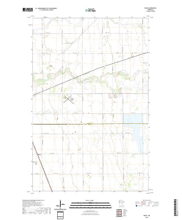
2022 Map of Roan
USGS Topo · Published 2022About this map
Snake River and its tributary, the S Br Snake River, meander through this agricultural landscape near the Marshall and Polk County line. The settlement of Roan serves as a focal point for the surrounding rural sections, which are defined by a strict grid of county roads and township lines. Aviation history is particularly well-represented in the area, with both the Warren Municipal Airport and the smaller Roan Airport appearing on this sheet. The presence of the Melgard Coulee in the northwest corner highlights the subtle drainage patterns that shape this prairie region. This survey provides a clear look at the infrastructure of the early 21st century, showing how the river systems and the rectangular survey system dictate the placement of farms and small transport hubs.
Find a feature on this map
42 named features on this map. Tap any name to fly to it.
Don’t see what you’re looking for? This feature index may not catch every label — zoom into the map to look around manually.
Map Details
Editions of this 2022 Roan Map
This is the sole edition of this map. No revisions or reprints were ever made.
Other maps of this area

1918 · Angus
USGS Topo · 1:62,500

1918 · Argyle
USGS Topo · 1:62,500

1918 · Warren
USGS Topo · 1:62,500

1952 · Thief River Falls
USGS Topo · 1:250,000

1954 · Stephen
USGS Topo · 1:62,500

1955 · Warren
USGS Topo · 1:62,500

1956 · Thief River Falls
USGS Topo · 1:250,000

1956 · Florian
USGS Topo · 1:62,500

1957 · Thief River Falls
USGS Topo · 1:250,000

1961 · Radium
USGS Topo · 1:24,000