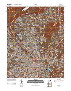
2011 Map of Roanoke
USGS Topo · Published 2011About this map
Roanoke River and the Norfolk Western Ave rail corridor anchor this early 21st-century landscape, showing the dense development patterns surrounding the city. The map highlights the extensive educational and institutional infrastructure of the region, from Hollins University in the north to a branch of the University of Virginia. The transition from urban center to the surrounding heights is clearly marked by prominent natural features such as Read Mountain and Mill Mountain.
Find a feature on this map
246 named features on this map. Tap any name to fly to it.
Don’t see what you’re looking for? This feature index may not catch every label — zoom into the map to look around manually.
Map Details
Editions of this 2011 Roanoke Map
This is the sole edition of this map. No revisions or reprints were ever made.
Other maps of this area

1890 · Roanoke
USGS Topo · 1:125,000

1890 · Christiansburg
USGS Topo · 1:125,000

1891 · Roanoke
USGS Topo · 1:125,000

1929 · Roanoke
USGS Topo · 1:48,000

1929 · Salem
USGS Topo · 1:48,000

1932 · Salem
USGS Topo · 1:62,500

1933 · Roanoke
USGS Topo · 1:62,500

1947 · Roanoke
USGS Topo · 1:250,000

1950 · Elliston
USGS Topo · 1:62,500

1951 · Boones Mill
USGS Topo · 1:62,500