
2013 Map of Roanoke
USGS Topo · Published 2013About this map
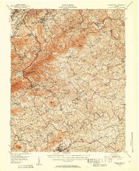
Hollins College serves as a major landmark in this northern reach of the Roanoke Valley, situated between the high ground of Green Ridge and Read Mountain. The landscape is a dense tapestry of mid-century and modern residential developments, including established neighborhoods like Summerdean and Cloverdale. The map illustrates the region's critical infrastructure, notably the Roanoke Regional Airport/Woodrum Field and the Roanoke Waterworks facilities near the Carvin Cove Reservoir.
Find a feature on this map
597 named features on this map. Tap any name to fly to it.
Don’t see what you’re looking for? This feature index may not catch every label — zoom into the map to look around manually.
Map Details
Editions of this 2013 Roanoke Map
This is the sole edition of this map. No revisions or reprints were ever made.
Other maps of this area

1890 · Roanoke
USGS Topo · 1:125,000

1890 · Christiansburg
USGS Topo · 1:125,000

1891 · Roanoke
USGS Topo · 1:125,000
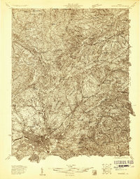
1929 · Roanoke
USGS Topo · 1:48,000
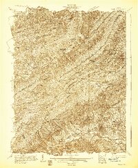
1929 · Salem
USGS Topo · 1:48,000

1932 · Salem
USGS Topo · 1:62,500
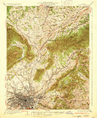
1933 · Roanoke
USGS Topo · 1:62,500

1947 · Roanoke
USGS Topo · 1:250,000
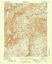
1950 · Elliston
USGS Topo · 1:62,500
1951 · Boones Mill
USGS Topo · 1:62,500