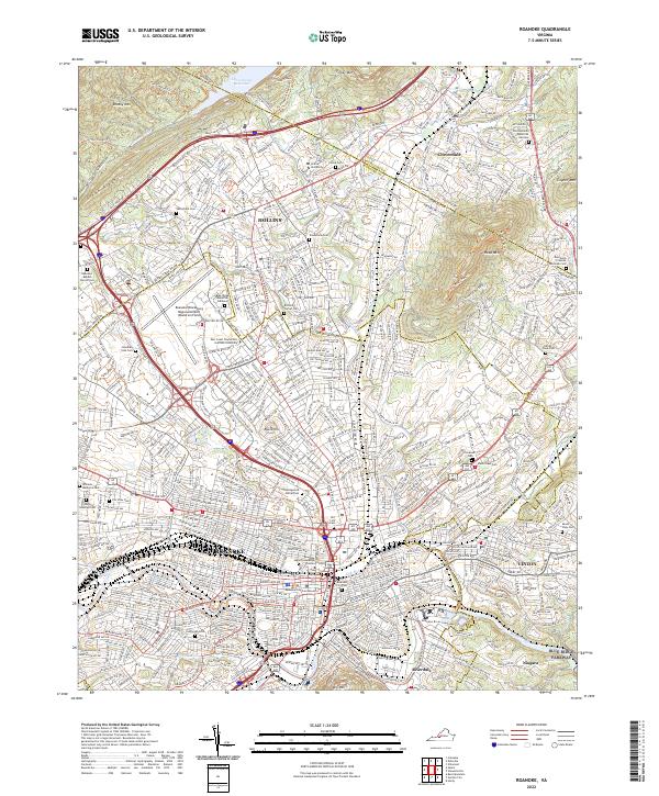
2022 Map of Roanoke
USGS Topo · Published 2022About this map
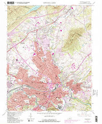
Roanoke and its neighboring communities of Vinton and Hollins are depicted here in a modern landscape defined by intense infrastructure and historical preservation. The area is anchored by major transportation and educational hubs, including the Roanoke/Blacksburg Regional Airport (Woodrum Field) and the campus of Hollins University. Significant urban development is balanced by protected green spaces and cemeteries that trace the region's lineage, such as the Springwood Burial Park, Old Lick Cem, and Evergreen Cem.
Find a feature on this map
51 named features on this map. Tap any name to fly to it.
Don’t see what you’re looking for? This feature index may not catch every label — zoom into the map to look around manually.
Map Details
Editions of this 2022 Roanoke Map
This is the sole edition of this map. No revisions or reprints were ever made.
Historical Maps of British Woods Through Time
11 maps found

1890 Roanoke
Roanoke City County, VA
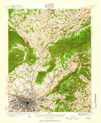
1929 Roanoke
Roanoke City County, VA
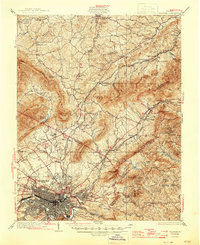
1933 Roanoke
Roanoke City County, VA

1947 Roanoke
Roanoke City County, VA

1959 Roanoke
Roanoke City County, VA
1962 Roanoke
Roanoke City County, VA

1963 Roanoke
Roanoke City County, VA
1963 Roanoke
Roanoke City County, VA
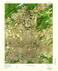
1971 Roanoke
Roanoke City County, VA
1977 Roanoke
Roanoke City County, VA
2022 Roanoke
Roanoke City County, VA