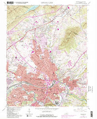
1963 Map of Roanoke
USGS Topo · Published 1988About this map
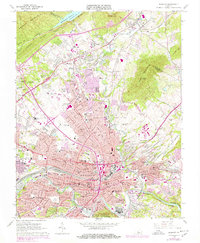
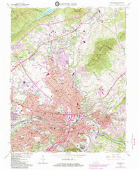
Hollins College sits at the northern edge of this urbanized valley, where the rugged slopes of Tinker Mountain and Read Mountain frame the expanding city. The industrial and transport backbone of the region is clearly defined by the Norfolk and Western rail lines and the growing footprint of the Roanoke Regional Airport (Woodrum Field). This edition reflects significant mid-century growth, showcasing the development of commercial hubs like the Crossroads Mall Shopping Center alongside established civic landmarks such as Victory Stadium and the Municipal Bldg. Cultural and family history is preserved through numerous sites, including the Blue Ridge Memorial Gardens, Beth Israel Cem, and Emanuel Cem. The southern landscape is shaped by the Roanoke River as it winds past Mill Mountain Park, providing a sharp contrast between the dense street grids of Roanoke and the wooded ridges that hem in the city.
Find a feature on this map
81 named features on this map. Tap any name to fly to it.
Don’t see what you’re looking for? This feature index may not catch every label — zoom into the map to look around manually.
Map Details
Editions of this 1963 Roanoke Map
6 editions found
Other maps of this area

1890 · Roanoke
USGS Topo · 1:125,000

1890 · Christiansburg
USGS Topo · 1:125,000

1891 · Roanoke
USGS Topo · 1:125,000

1929 · Roanoke
USGS Topo · 1:48,000

1929 · Salem
USGS Topo · 1:48,000

1932 · Salem
USGS Topo · 1:62,500

1933 · Roanoke
USGS Topo · 1:62,500

1947 · Roanoke
USGS Topo · 1:250,000

1950 · Elliston
USGS Topo · 1:62,500

1951 · Boones Mill
USGS Topo · 1:62,500