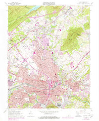
1963 Map of Roanoke
USGS Topo · Published 1978About this map
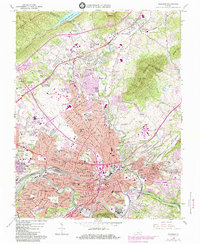
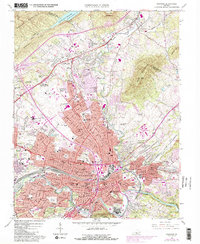
Roanoke and its surrounding valleys are defined by a complex intersection of mid-century industrial growth and enduring natural landmarks. The industrial heart of the region is visible along the Norfolk and Western rail lines, while the city's upward expansion is marked by institutions such as Hollins College and the sprawl of the Roanoke Municipal Airport (Woodrum Field). Settlement patterns show distinct neighborhoods and school districts, with numerous local landmarks like William Fleming High Sch and Jefferson High Sch serving the growing population centers in Vinton and Hollins. Significant topographic features like Mill Mountain and Read Mountain frame the urban basin. Cultural and commercial hubs are well-documented, including the Crossroads Mall Shopping Center and several healthcare facilities such as Burrell Memorial Hospital. For researchers, the map traces the early development of Interstate 581 as it cuts through the city's core toward the Carvin Cove Reservoir in the north.
Find a feature on this map
78 named features on this map. Tap any name to fly to it.
Don’t see what you’re looking for? This feature index may not catch every label — zoom into the map to look around manually.
Map Details
Editions of this 1963 Roanoke Map
6 editions found
Other maps of this area

1890 · Roanoke
USGS Topo · 1:125,000

1890 · Christiansburg
USGS Topo · 1:125,000

1891 · Roanoke
USGS Topo · 1:125,000

1929 · Roanoke
USGS Topo · 1:48,000

1929 · Salem
USGS Topo · 1:48,000

1932 · Salem
USGS Topo · 1:62,500

1933 · Roanoke
USGS Topo · 1:62,500

1947 · Roanoke
USGS Topo · 1:250,000

1950 · Elliston
USGS Topo · 1:62,500

1951 · Boones Mill
USGS Topo · 1:62,500