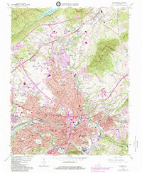
1963 Map of Roanoke
USGS Topo · Published 1984About this map
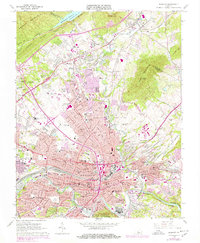
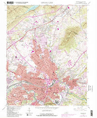
The Roanoke River valley serves as the industrial and transportation heart of this region, anchored by the extensive Norfolk and Western railyards and the Roanoke Regional Airport (Woodrum Field). The 1960s landscape is defined by a dense network of neighborhoods and civic landmarks, from the academic grounds of Hollins College in the north to Victory Stadium and the Municipal Buildings downtown. Topographical diversity is provided by the surrounding heights of Read Mountain and Mill Mountain, while the Carvin Cove Reservoir and Tinker Creek manage the area's water resources.
Find a feature on this map
112 named features on this map. Tap any name to fly to it.
Don’t see what you’re looking for? This feature index may not catch every label — zoom into the map to look around manually.
Map Details
Editions of this 1963 Roanoke Map
6 editions found
Other maps of this area

1890 · Roanoke
USGS Topo · 1:125,000

1890 · Christiansburg
USGS Topo · 1:125,000

1891 · Roanoke
USGS Topo · 1:125,000

1929 · Roanoke
USGS Topo · 1:48,000

1929 · Salem
USGS Topo · 1:48,000

1932 · Salem
USGS Topo · 1:62,500

1933 · Roanoke
USGS Topo · 1:62,500

1947 · Roanoke
USGS Topo · 1:250,000

1950 · Elliston
USGS Topo · 1:62,500

1951 · Boones Mill
USGS Topo · 1:62,500