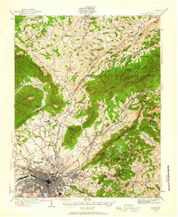
1929 Map of Roanoke
USGS Topo · Published 1961About this map
The Roanoke valley and its surrounding ridges are meticulously detailed in this survey from the late 1920s. The city center is a dense grid of infrastructure where the Roanoke River meets the heavy rail lines of the Norfolk and Western. To the north, Hollins College stands as a prominent landmark near Hollins, while small agricultural and milling hubs like Amsterdam and Glebe Mills dot the valley floor.
Find a feature on this map
102 named features on this map. Tap any name to fly to it.
Don’t see what you’re looking for? This feature index may not catch every label — zoom into the map to look around manually.
Map Details
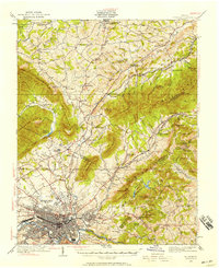
Editions of this 1929 Roanoke Map
3 editions found

Other maps of this area

1887 · Lewisburg
USGS Topo · 1:125,000

1890 · Roanoke
USGS Topo · 1:125,000

1890 · Christiansburg
USGS Topo · 1:125,000

1891 · Roanoke
USGS Topo · 1:125,000

1891 · Lewisburg
USGS Topo · 1:125,000

1894 · Natural Bridge
USGS Topo · 1:125,000

1894 · Natural Bridge
USGS Topo · 1:62,500

1907 · Natural Bridge Special
USGS Topo · 1:62,500

1913 · Eagle Rock
USGS Topo · 1:48,000

1915 · Eagle Rock
USGS Topo · 1:62,500