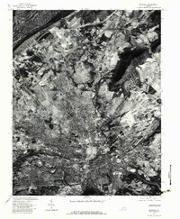
1977 Map of Roanoke
USGS Topo · Published 1983About this map
Roanoke and its surrounding suburbs appear in striking aerial detail during the late 1970s, showcasing the dense urban grid transitioning into the surrounding valley landscape. The city's industrial and residential expansion is clearly visible, concentrated south of the prominent Read Mountain and east of Lick Run. The imagery captures the critical path of the Roanoke River as it winds through the southern portion of the quadrangle, serving as a geographic anchor for the region's development.
Find a feature on this map
12 named features on this map. Tap any name to fly to it.
Don’t see what you’re looking for? This feature index may not catch every label — zoom into the map to look around manually.
Map Details
Editions of this 1977 Roanoke Map
This is the sole edition of this map. No revisions or reprints were ever made.
Historical Maps of Bali Hai Through Time
11 maps found

1890 Roanoke
Roanoke City County, VA
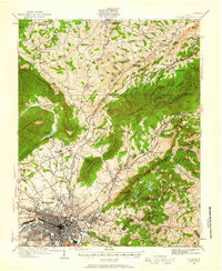
1929 Roanoke
Roanoke City County, VA
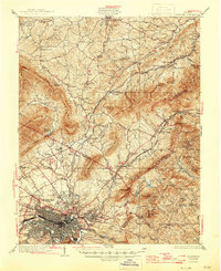
1933 Roanoke
Roanoke City County, VA

1947 Roanoke
Roanoke City County, VA

1959 Roanoke
Roanoke City County, VA
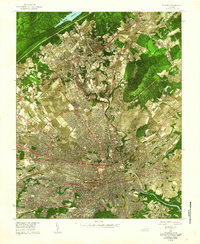
1962 Roanoke
Roanoke City County, VA

1963 Roanoke
Roanoke City County, VA
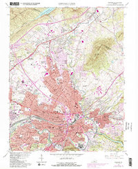
1963 Roanoke
Roanoke City County, VA
1971 Roanoke
Roanoke City County, VA
1977 Roanoke
Roanoke City County, VA
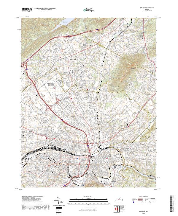
2022 Roanoke
Roanoke City County, VA