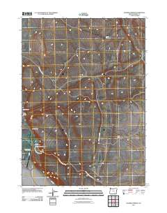
2011 Map of Roaring Springs
USGS Topo · Published 2011About this map
Roaring Springs Ranch sits at the heart of this high-desert landscape in Harney County, illustrating the enduring agricultural and ranching footprint in southeastern Oregon. The geography is defined by significant drainage systems, notably Roaring Springs Creek and the seasonally intermittent Dry Creek, which carve through the volcanic plateau. These waters feed into the namesake Roaring Springs, providing a vital oasis in an otherwise arid environment.
Find a feature on this map
11 named features on this map. Tap any name to fly to it.
Don’t see what you’re looking for? This feature index may not catch every label — zoom into the map to look around manually.
Map Details
Editions of this 2011 Roaring Springs Map
This is the sole edition of this map. No revisions or reprints were ever made.
Other maps of this area

1955 · Adel
USGS Topo · 1:250,000

1957 · Adel
USGS Topo · 1:250,000

1958 · Adel
USGS Topo · 1:250,000

1962 · Adel
USGS Topo · 1:250,000

1967 · Roaring Springs
USGS Topo · 1:24,000

1967 · Frenchglen
USGS Topo · 1:24,000

1967 · Page Springs
USGS Topo · 1:24,000

1968 · Tombstone Canyon
USGS Topo · 1:24,000

1968 · Roaring Springs SE
USGS Topo · 1:24,000

1971 · Blitzen
USGS Topo · 1:24,000