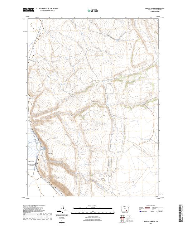
2023 Map of Roaring Springs
USGS Topo · Published 2023About this map
Catlow Valley and the prominent Catlow Rim define this portion of Harney County, Oregon, where the high desert meets the protected reaches of the Steens Mountain Wilderness. The map reveals a landscape shaped by remote ranching and drainage networks, with the Roaring Springs Ranch Airport serving as a vital transportation point for this isolated region. Seasonal water features like Dry Creek and Roaring Springs Creek flow toward the valley floor from the surrounding canyons. A series of deep geological cuts, including Kueny Canyon and Black Canyon, incise the plateau, while the Steens Mountain Loop and Burnt Car Rd provide the primary access through the terrain. This survey provides a modern look at how the legacy of the Roaring Springs and local ranching infrastructure continues to operate within the federally protected wilderness boundaries.
Find a feature on this map
22 named features on this map. Tap any name to fly to it.
Don’t see what you’re looking for? This feature index may not catch every label — zoom into the map to look around manually.
Map Details
Editions of this 2023 Roaring Springs Map
This is the sole edition of this map. No revisions or reprints were ever made.
Other maps of this area

1955 · Adel
USGS Topo · 1:250,000

1957 · Adel
USGS Topo · 1:250,000

1958 · Adel
USGS Topo · 1:250,000

1962 · Adel
USGS Topo · 1:250,000

1967 · Roaring Springs
USGS Topo · 1:24,000

1967 · Frenchglen
USGS Topo · 1:24,000

1967 · Page Springs
USGS Topo · 1:24,000

1968 · Tombstone Canyon
USGS Topo · 1:24,000

1968 · Roaring Springs SE
USGS Topo · 1:24,000

1971 · Blitzen
USGS Topo · 1:24,000