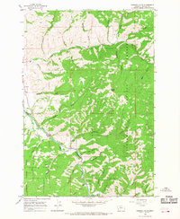
1964 Map of Robbins Gulch
USGS Topo · Published 1968About this map
Conner serves as the primary focal point of this mid-1960s survey, situated where the valley opens at the confluence of several mountain drainages. The landscape is dominated by the Bitterroot National Forest, with the East Fork Bitterroot River carving a significant path through the terrain. Evidence of local aviation and roadside history is visible via the Landing Strip and a Historical Marker positioned near the riverbanks.
Find a feature on this map
36 named features on this map. Tap any name to fly to it.
Don’t see what you’re looking for? This feature index may not catch every label — zoom into the map to look around manually.
Map Details
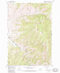
Editions of this 1964 Robbins Gulch Map
2 editions found
Other maps of this area

1901 · Hamilton
USGS Topo · 1:125,000

1909 · Sapphire
USGS Topo · 1:125,000

1947 · Butte
USGS Topo · 1:250,000

1955 · Dillon
USGS Topo · 1:250,000

1956 · Elk City
USGS Topo · 1:250,000

1956 · Hamilton
USGS Topo · 1:250,000

1957 · Dillon
USGS Topo · 1:250,000

1958 · Butte
USGS Topo · 1:250,000

1958 · Dillon
USGS Topo · 1:250,000

1959 · Hamilton
USGS Topo · 1:250,000